Leicester · LE area
The heart of LE7
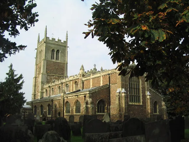
The parish church spire is the marker that tells Syston people they are back in town. It is the fixed point at the centre of the high street that everyone gives directions from.
Photo: Tim Heaton · CC BY-SA 2.0 · source
No member holds LE7 yet. Leave your details and we'll connect you with the vetted local firm that takes it — you'll be first in line.
Sent. Your enquiry has gone to the network — we'll connect you with the mover who takes LE7 soon.
LE7 is a large district covering Syston, Scraptoft, Bushby, Thurnby and Rothley in the Leicester area. Around 51,200 people live here across roughly 21,300 households. About 958 homes changed hands in 2025. It borders a wide ring of districts including LE2, LE3, LE4, LE5, LE6, LE8, LE12, LE14, LE15 and LE16.
Every district page on this site is written from real public data: boundaries, neighbouring districts and property records. The best part is written by the mover who claims it.
Not in the network yet. LE7 is unclaimed. Join the waiting list and we'll email you when a vetted local firm takes it.
Pick it on the claim map and pay £10/month, VAT included. One firm per district; first come, first served, yours for life subject to short fair terms.